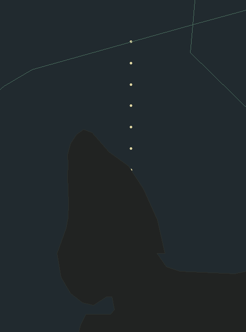
Hi, I'm trying to add some new TopSky Maps to my sectorfile (converted from Euroscope Regions/Geo data.) I also have configured TopSky to automatically draw all extended centerlines using the AppLines function.
However, I'm experiencing an issue where TopSky draws the Maps above the AppLines, obscuring the AppLines. See screenshot below.

Could the AppLines please be changed to render above the Maps? (Or at least could we have an option to have AppLines render above vs below Maps, configurable in the settings?)